
Data Structures in the Field: Masts, LiDAR
and Inspections across Ireland and the UK
Behind every wind farm there is a long run of unglamorous, exacting fieldwork: a mast that has to stand straight for years and a LiDAR that has to be sited and set up properly. That is where the Data Structures team spends its time, from the Atlantic coast of Ireland to upland sites across the UK.
This page gives a snapshot of what we do on site and why it matters to the people relying on the data we help collect:
- Installing meteorological masts and LiDAR units to IEC 61400-50-1
- Inspecting masts up to 120m
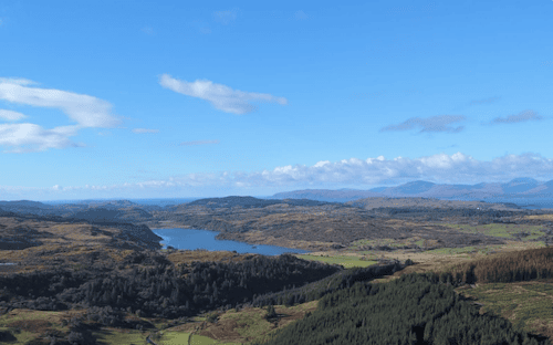
Mast and LiDAR installations to IEC 61400-50-1
Wind measurement campaigns underpin resource assessment, energy yield estimates and, ultimately, the financing of a project. A small error in how a mast is built or an instrument is mounted becomes a bias in the data, and a bias in the data becomes a bias in the business case.
IEC 61400-50-1 is the international standard for wind measurement using instruments mounted on meteorological masts, nacelles and spinners. It sets out methods and requirements for applying wind speed instruments, covering anemometer classification and calibration, the mounting of instruments on masts, uncertainty assessment and reporting. We build our installation practice around it.
On a typical mast installation, that means:
- Site and layout: choosing mast position and instrument heights to suit the measurement objective, and recording as-built details accurately.
- Instrument mounting: boom lengths, orientations and separation set to limit tower and boom flow distortion, with redundant sensors where the campaign calls for them.
- Calibration traceability: keeping instrument calibration records with the installation so the uncertainty analysis has what it needs.
- Logger, power and commissioning: configuring and proving the data chain before we leave site.
A note on LiDAR: ground-mounted remote sensing devices sit outside the scope of 50-1, which excludes instruments that measure the wind at a distance, and are addressed by the companion remote sensing part of the series. In practice, the two go hand in hand. We deploy LiDAR units alongside masts for verification and to extend measurement heights, and apply the same discipline to siting, levelling, orientation, power and communications so the two data sets can be compared with confidence.
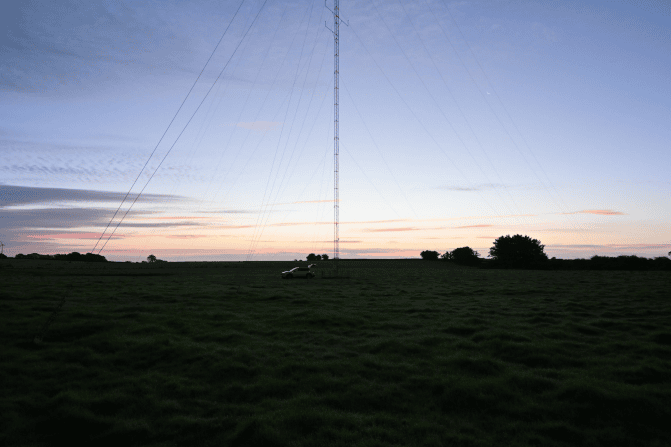
Inspecting masts up to 120m
A tall guyed lattice mast is a long-term structure in a hard environment. Wind, rain, ice, livestock and time all take their toll, and the cost of a failure runs well beyond the mast itself: lost data, damaged instruments, and a safety risk to anyone on or near it.
Our 120m mast inspections are a structured walk-through of the whole installation, from anchor to instrument:
Guy wires and anchors: condition, tension and termination, plus signs of anchor movement or ground change.
Tower sections and fixings: corrosion, bolts, damage and verticality.
Instrument booms and sensors: orientation, security, damage and signs of drift, with anything unusual flagged for the data team.
Earthing and lightning protection: continuity and condition.
Lighting and signage where fitted: operation and visibility.
Logger, power and enclosure: condition, battery and solar health, and connectivity.
Every inspection ends with a clear report: what we found, how urgent it is and what we recommend. Many of our sites are remote, so we plan access, weather windows and safe working at height carefully before we set out. Catching a slackening guy wire or a failing sensor early is far cheaper than losing a season of data.
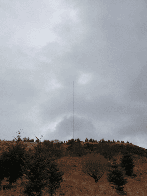
Why this work matters now
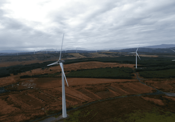
The pipeline on both islands is busy, and every new project starts with good measurements.
In the Republic of Ireland, around 450MW of wind farms were reported to be under construction in 2026, the highest level since 2019, with a further 2,112MW in the planning system. Roughly 5,000MW of onshore wind is already installed.
Ireland and the UK used their 2026 summit in Cork to put energy cooperation at the centre of the agenda, with a focus on offshore wind at scale and more interconnection.
In the UK, two 1.5GW North Sea offshore wind projects received Development Consent Orders in May 2026.
Onshore or offshore, new build or repowering, projects need credible wind data, and that depends on solid masts and well-sited LiDAR. That is the part we are proud to deliver.
Get in touch
If you are planning a measurement campaign, or need a mast inspected anywhere in Ireland or the UK, talk to the Data Structures team at datastructures.ie.